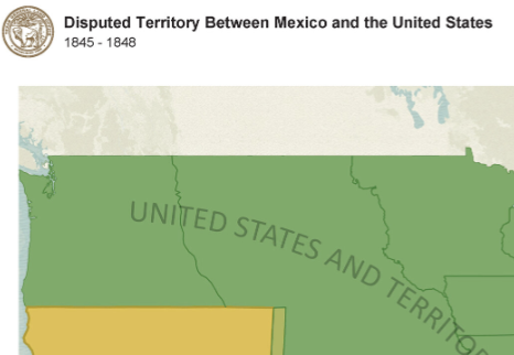
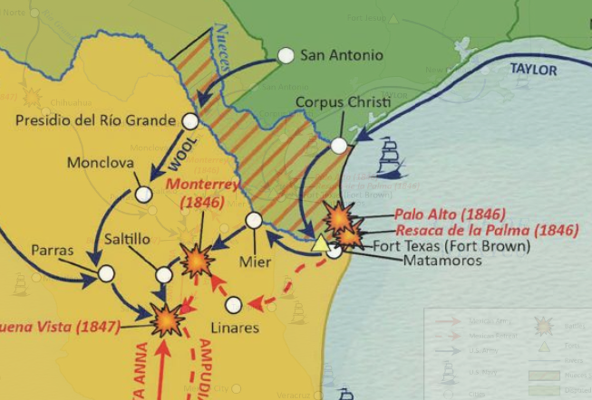
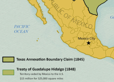
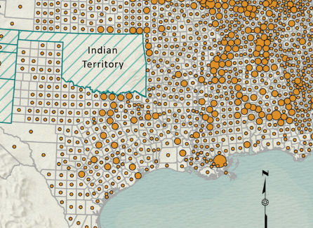
One of the core missions of the Texas General Land Office (GLO) is to serve the school children of Texas. Since 2022, the GLO has created a series of Geography Information Systems (GIS) maps to support Texas social studies teachers. This cartography initiative is a collaboration between the GLO’s Geospatial Technology Services office and its Heritage division. Paid Geospatial interns are paired each semester with specialists in the GLO Archives and Records to create GIS static maps on a range of topics. To date, 27 maps have been made available in our GIS Educational Maps collection for public use.
Each map project poses significant challenges. This includes having to confirm historical information in trustworthy sources to ensure accuracy, and working collaboratively to distill sometimes complex or imprecise data into visually simpler format that users can understand. As well as gaining valuable problem-solving experience, interns leave with a published product that they can show to potential employers, giving them an edge in a highly competitive job market.
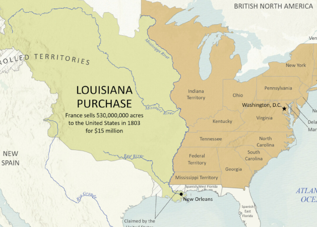
This map depicts the Louisiana Purchase. The momentous decision to purchase 530 million acres from France in 1803 roughly doubled the size of the United States. It also signaled the young nation’s continental ambitions against those of its territorial rivals: Spain, Great Britain, Russia, and Indigenous Tribes. This GIS map was created for a GLO lesson plan on the Louisiana Purchase.
